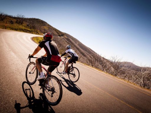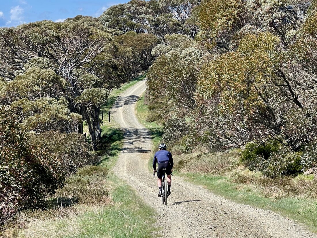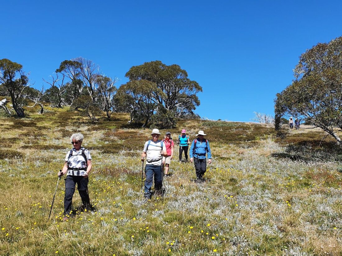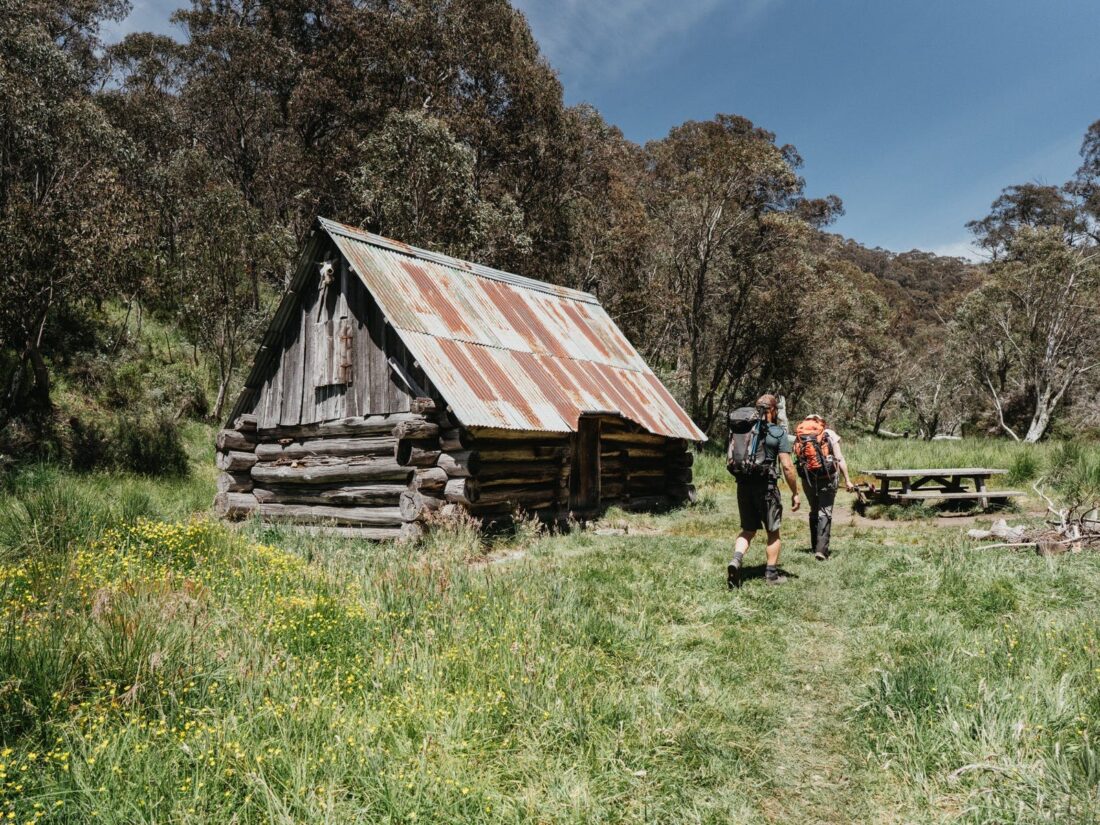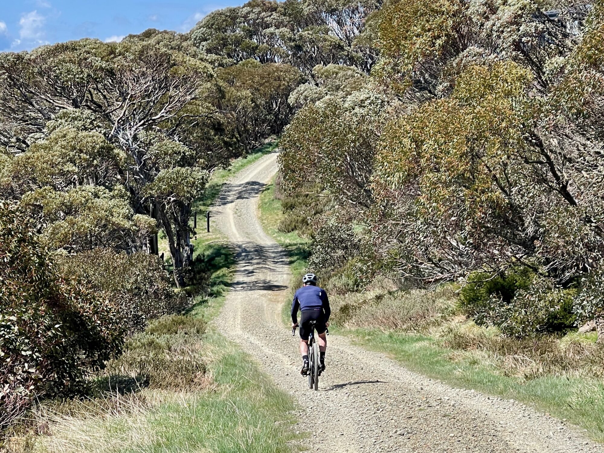
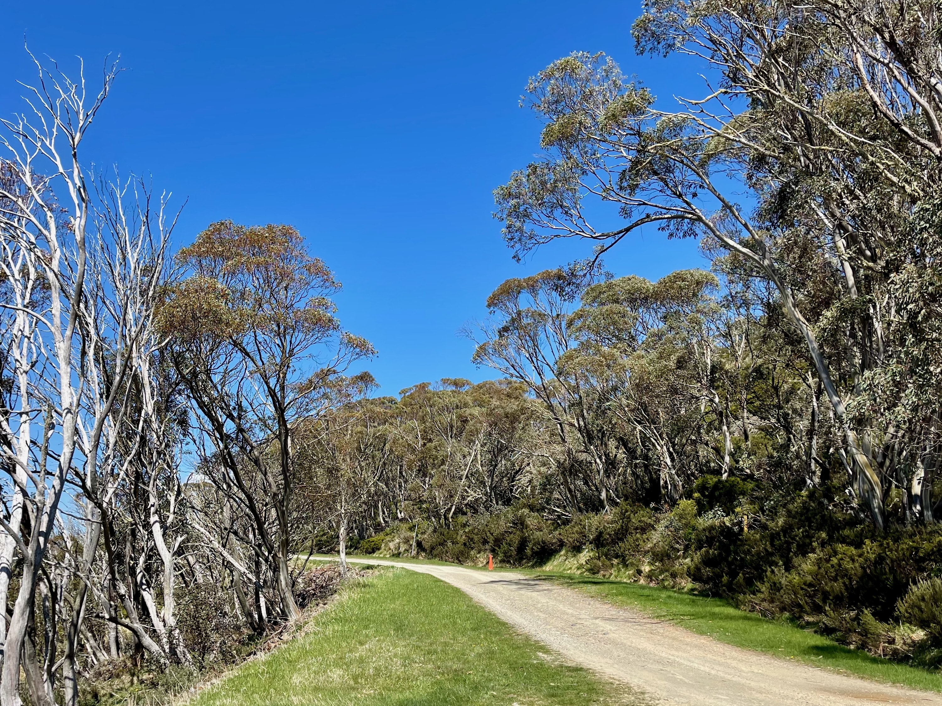


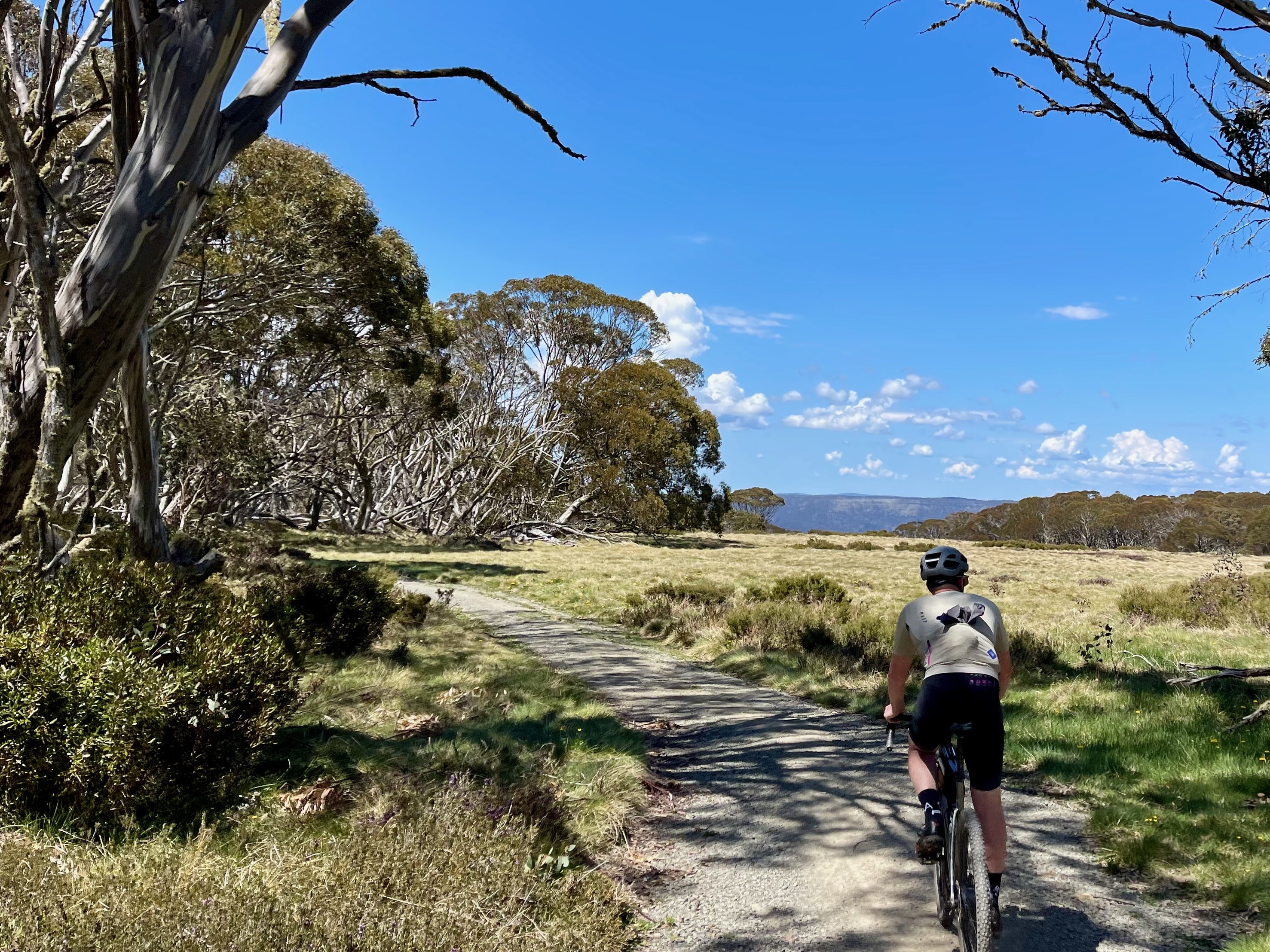
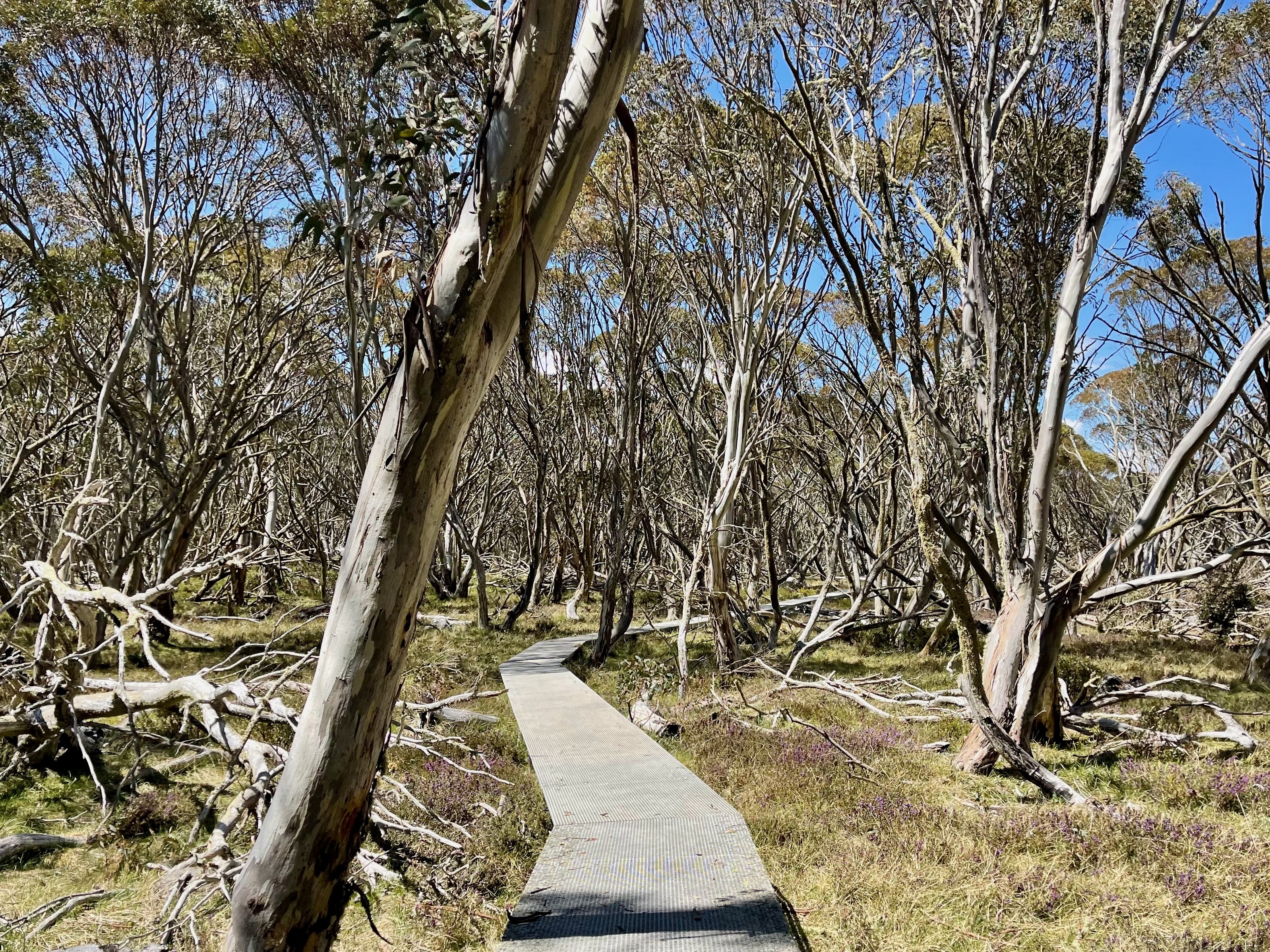
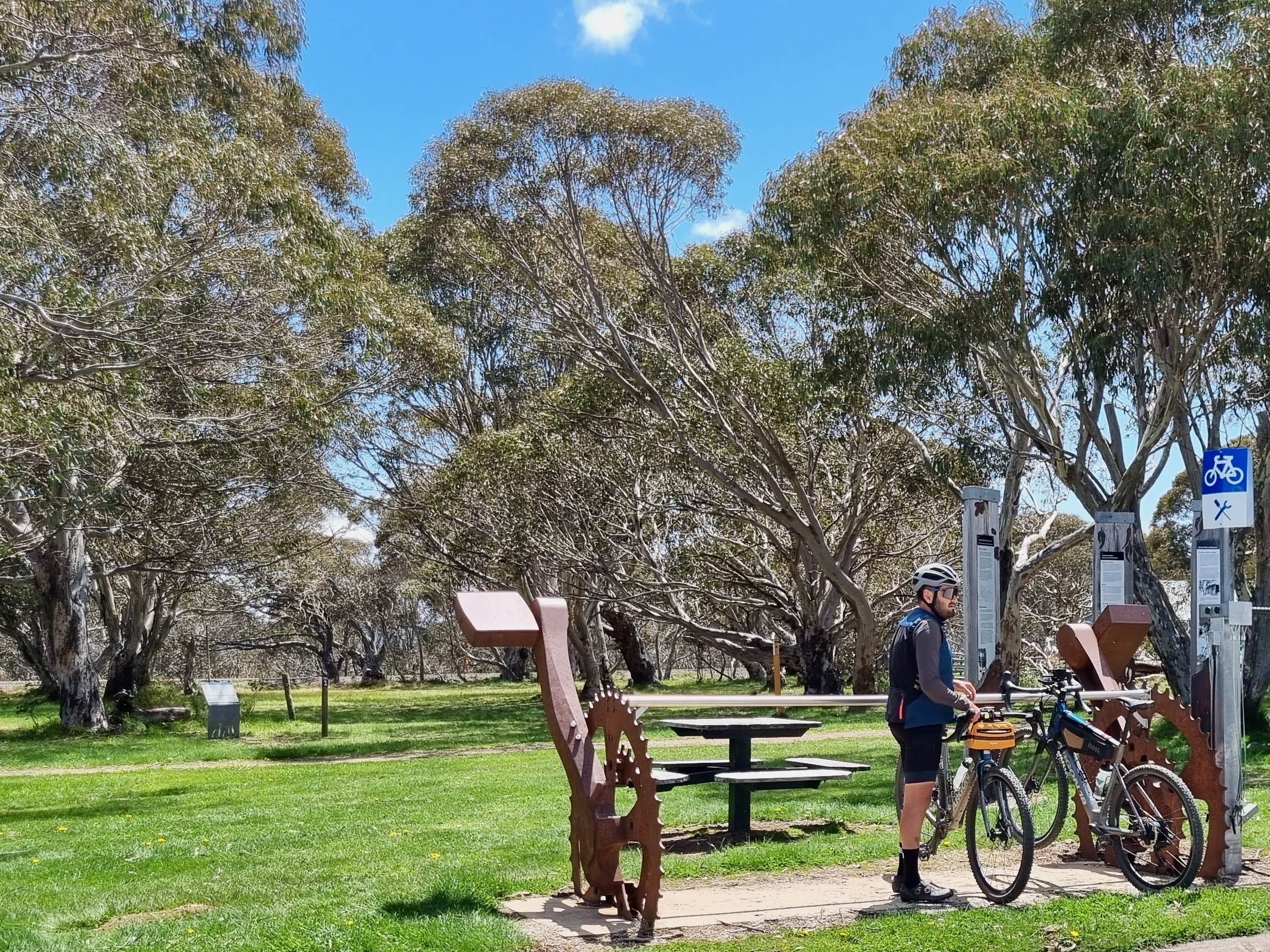
Connecting Mt Hotham with Dinner Plain, the Brabralung Trail is a gravel route exclusive to cyclists and bushwalkers. With invigorating climbs and exciting descents in both directions, this point-to-point route is suited to intermediate gravel riders. The trail is well-maintained however riders should approach corners cautiously as loose surfaces sometimes overlay the hard pack. Numerous bushwalking trails also branch from the route, inviting exploration beyond the bike.
Start location - Corral Parking Lot
Finish location - Dinner Plain Bike Hub, Dinner Plain
Elevation gain - 220m
Water & Toilets - Hotham Village, The General (Mt Hotham) & Dinner Plain Village
Additional route options:
- The General - Dinner Plain | 11.9km | 163m+
- The General - Mt Hotham Village | 1.4km | 48m+
- Hotham Alpine Base - Dinner Plain | 8km | 128m+
- Hotham Alpine Base - Mt Hotham Village | 5.3km | 175m+
Note - Always check the weather forecast before heading out for a ride in Victoria's alps. This route is only open in the Green season from November to early May.
Looking for more unforgettable gravel rides? Click here to check out the full Ride High Country gravel network.